Maps of Alabama Home > Alabama Map Collection > Map of Decatur
Street Map of Decatur
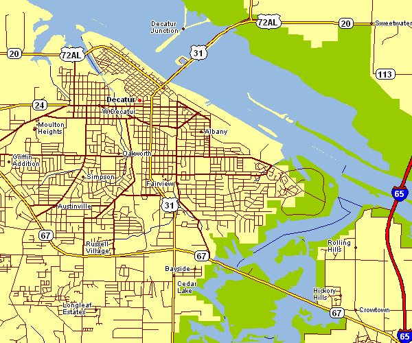
The above is a classic depiction exposing the geography of this area with a basic diversity of details.
You are allowed to download this map and utilize it for many purposes. Linking back to this resource would be helpful.
Supposing you are looking for help retrieving a map, a special kind of map, or are looking for a first-class tailor-made work, please do not hesitate to contact us.
Procure proper specially made maps from us. Our custom maps contain a refreshing medley of features, such as: streets, map projection, GPS coordinates, bays, major municipal/district areas, shoals, cliffs, or provinces, etc. Map types reach from economic geography to tourism, printable to printed, global to consolidated cities.
First-Class maps are specific, complete, and not misleading. Finest cartography by YellowMaps.
To acquire actual maps that get delivered in the mail to your home, e.g. road atlases, maps of continents, or topo maps, simply visit our online map shop It has more than 100,000 map products.
We like to help you. If you have any questions, please do ask! We are very friendly :D
Back to Alabama map collection